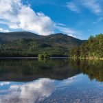
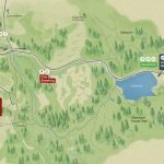
 Rothiemurchus Map
Explore the estate with our interactive map.
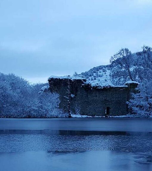
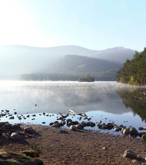
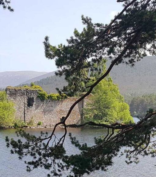
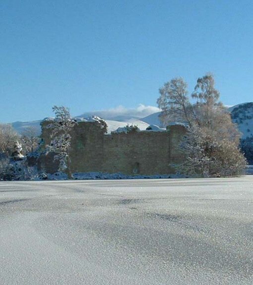
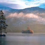 Loch An Eilein
Our iconic loch with its ruined castle.
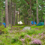
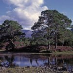 About Rothiemurchus
Learn about the estate and the family.
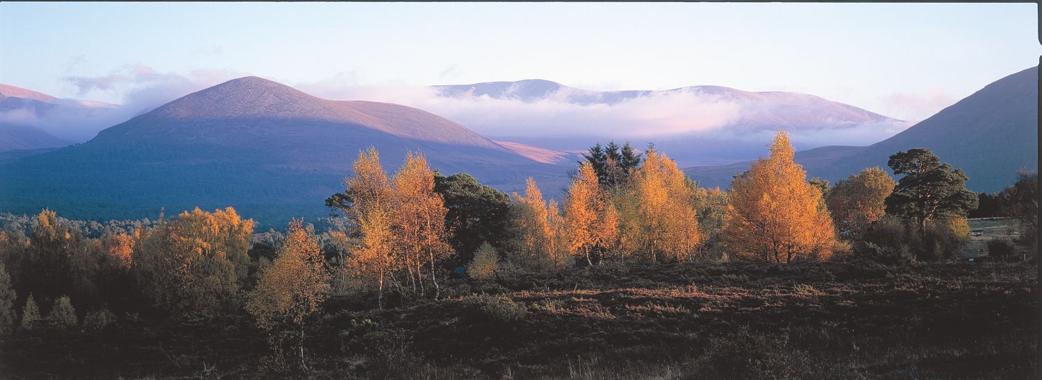
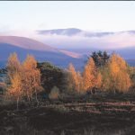 History
500 years of Highland heritage.
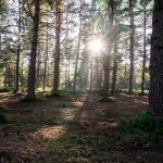 Blog
Blog
News and stories from the estate.
 How to Get Here
Directions and travel information.